For the next three years, with the help of NASA, researchers at UC Irvine and the University of Houston will be looking to the stars to find answers in the sand.
Those astronomical answers might help coastal communities combat shoreline erosion and flood risk, as rising sea levels continue to become a real threat for many communities in Orange County – and across the globe.
“It’s not just a California problem, it’s a global problem,” Dr. Brett Sanders, Ph.D., professor of civil and environmental engineering at UC Irvine, explained to Irvine Weekly.
Now, thanks to a $675,000 grant from the National Aeronautics and Space Administration (NASA), Sanders and his team of researchers in Irvine and Houston are remotely monitoring the volume of sand on beaches and coastal dunes via satellites.
Utilizing an advanced method of imaging known as Synthetic Aperture Radar (SAR) technology, which is used to measure landforms, and other large-scale topographic features, Sanders and his team are pioneering a new use for this advanced radar technology to measure the height of sand on local beaches.
“[SAR] has yet to be really tested as a method to measure the distribution of sand on a beach. What we can do now with satellites, pretty easily, is use the imagery of where the sand is and where the water is,” Sanders explained. “What we can’t see really well is how high is the sand above the water – so you don’t get that third dimension from space very easily.”
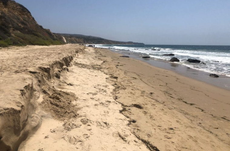
In terms of sand volume, or altimetry, Sanders said the taller the sand on a beach the more volume it has. The volume of sand on a beach is important, according to Sanders, because it ultimately regulates erosion and regional flood risk areas.
“We’re conducting a three-year study where we test out different ways to process this SAR data,” he said. “We’re also going to study the change that we see – changes in beach volume from summer to winter – and what that means for our seasonal changes in flood risk.”
But given the difficulty of measuring altimerty, no one has ever had the opportunity to view shorelines in this capacity.
“The satellite platform is something that’s exciting because it’s something that goes over the earth at a regular interval. Imagine a satellite goes by twice a month. That means it can look down and get data from all of California, twice a month for every beach,” he said. “Then it could do it around the whole world.”
Sanders has spent nearly two decades researching sea level rise and coastal flood risk and has recently shifted his focus to the aspect of sand loss on local beaches.
Through his research, Sanders has found that the infrastructure that currently exists to mitigate general flooding, and control water may be contributing to the loss of sand at the coast – specifically by preventing sediment from reaching the ocean.
“Humans have built dams and river channels, which really have affected the way sediment naturally moves from the mountains to the sea. Naturally, you would have a supply of sand to the coast that is linked to wet weather – if we have big storms here in Southern California, they would hit mountains, generate sand, rundown, move to the rivers and it would settle right by the coast. That material would contribute to the beaches we have here in Southern California,” Sanders explained. “What I noticed is the way that we built our infrastructure, by design, is blocking the delivery of sand to the coast.”
Sanders pointed out that there are legitimate reasons to block sand from the coast, given the need for coastal harbors and marinas. However, this practice over time, paired with rising sea levels, has led to the more rapid erosion of the shoreline.
“I’ve learned that the way we have designed our infrastructure across Southern California, we’re actually blocking the flow of sand to the coast at a time when sea level is rising – and a time when we would be needing more sediment in order to help communities rise up to higher ground,” said Sanders.
Sanders describes a lightbulb moment, understanding the problem was caused by the solution, creating an environmental double-edged sword.
“All the erosion we see along the coast is going to get worse once the beaches get thin and no longer offer the same level of protection. So it’s basically at this intersection of how we manage sand and sea level rise and what the implications are for coastal flood risk,” he said. “It’s like a light bulb went off. It’s not just that sea levels are rising, but that we’re shooting ourselves in the foot because the material we need to get to higher ground is blocked by our flood control system.”
For the next year, Sanders and his team will be conducting surveys on local beaches and collecting data via drones to compare with satellite data. The biggest concern for Sanders is that the rapid erosion of the shoreline eventually will lead to the loss of beaches.
“We lose one of the most precious resources in California, which is the chance to go down to the coast, walk along the beach and just enjoy the ocean. That is a privilege that everybody in California can participate in,” he said. “Think about all the lives that are enriched by time spent on the beach. In a way, it defines what it means to be someone from Southern California.”
Advertising disclosure: We may receive compensation for some of the links in our stories. Thank you for supporting Irvine Weekly and our advertisers.